The Inventio Fortunata
Gerardus Mercator was a 16th century cosmographer who wrote about the Inventio fortunata voyage detailing what was found when the voyage went to the North Pole - RABBIT HOLE THREAD
Gerardus Mercator was a 16th century cosmographer who wrote about the Inventio fortunata voyage detailing what was found when the voyage went to the North Pole - RABBIT HOLE THREAD

Mercator created the first 1569 world map (pictured below) where he mapped on paper to scale by using a technique which was later named the Mercator projection. Note that the bottom left of the map is the North Pole from above
You’ll notice that on the maps proceeding this post almost all of them describe 4 land masses with a large rock in the centre of the map which they presumed was magnetic due to their compasses constantly pointing in that direction
Mercurs notes say that of the 4 land masses one was inhabited by what he later called “Pygmies” which were small statured people around 4ft in height. Mercator went on to describe the land;
In the midst of the four countries is a Whirl-pool, into which there empty these four indrawing Seas which divide the North.Except that right under the Pole there lies a bare Rock in the midst of the Sea.Its circumference is almost 33 French miles, and it is all of magnetic Stone
Fast forward to the 1970’s when a US submarine was mapping the sea floor of the North Pole they reported a humming noise coming from the earth along with what they described as a “mighty force” like a giant whirlpool throwing them off course reported Margo Edwards
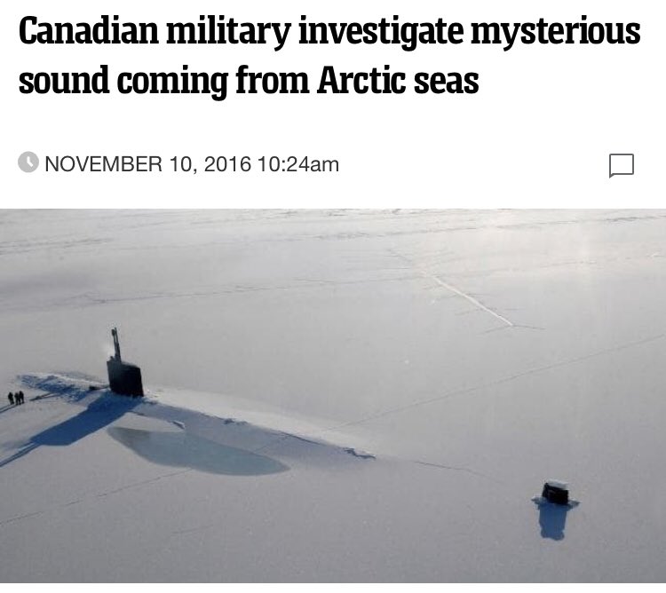
In addition to the humming, a report surfaced in 2016 that has authorities baffled so much so they sent in military aircrafts to locate the noise, some described it as a hum, a ping or a beep which is having disastrous effects on local wildlife numbers
I did some digging and came across the UN flag which contains a globe as seen from above from the North Pole. Looking at the flag, it’s segmented into 33 grid lines with the center possibly being the 33rd which is directly over the North Pole
If you don’t know about the UN’s plans for one world government, have a look into it. The UN are known for 33 degree masons, in fact the measuring system originated in Masonic France. The center of the 4 land masses described by Mercator in 1600 was 33 French miles in diameter.
In 1968 the American weather satellite transmitted two images of the North Pole which has scientists baffled. Two big black spots showed up on two separate images over the North Pole which is yet unexplained
There has been other images found on the NASA archive which have since been deleted showing an indent type impression over the North Pole driving a “hallow earth” theory.
While a lot is still unknown and likely always unknown to the general public, there’s a mystery that surrounds our magnetic north. FUN FACT - To this day, it’s forbidden to fly over the North Pole which spends 50% of the year in complete darkness
As for the 4 land masses, nobody knows where they are
EASTER EGG
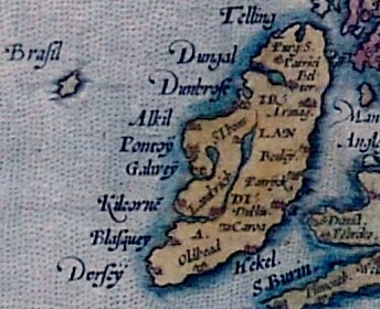
Hy Brasil was an island off the west coast of Ireland which was also recorded on old maps, this land mass can still be seen from sea bed maps but has disappeared below sea level 000’s of years ago - Atlantis
EASTER EGG
Hy Brasil was an island off the west coast of Ireland which was also recorded on old maps, this land mass can still be seen from sea bed maps but has disappeared below sea level 000’s of years ago - Atlantis


 Read on Twitter


