One area of Hackney that intrigues me is Haggerston Park, former site of the Gas Light & Coke company & criss-crossed with paths that echo lost streets. With some help from the wonderful resources of @ArchivesHackney I hope these may bring a fresh dimension for some of you.
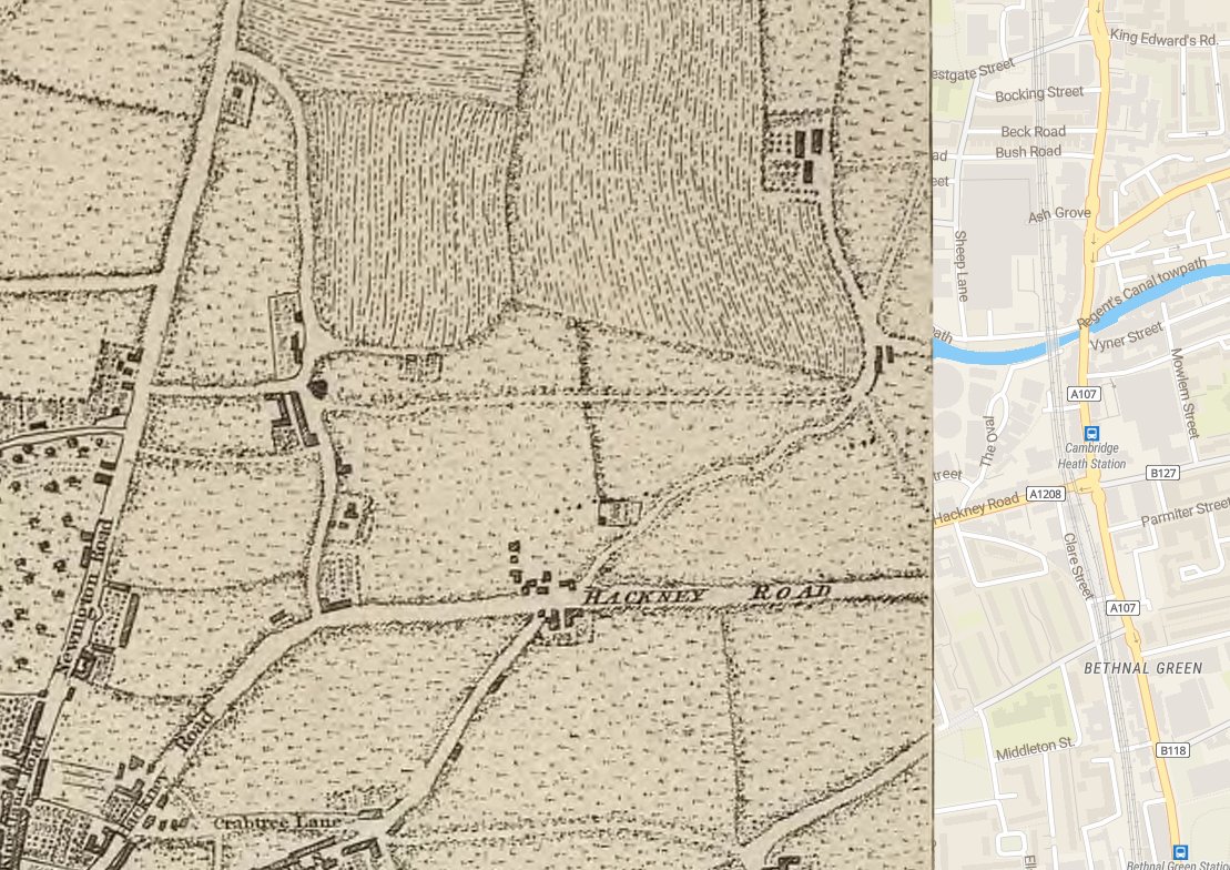
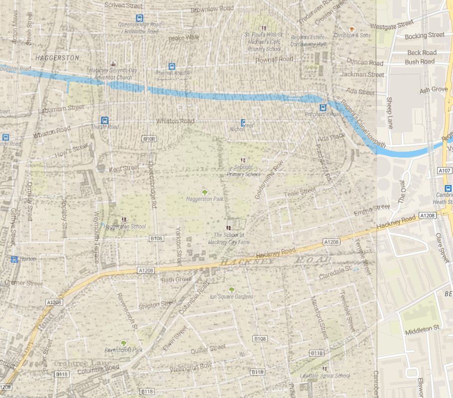
Just for some context here is a map of the area from 1775 overlaid on a modern map for context. And a graded map to see more clearly what was there.
One building that may have been recognisable in that period on the Hackney Road would have been the Nag's Head pub which had been there since the early 18thC. Here in the early 1950s.
Two more old maps - these from 1891 show in the first instance the area and streets (many of which have now long gone) the second a more detailed layout of the industrial site.
The proximity of the houses to such a site is quite something but a necessary business - here from 1906 & 1911 a few of the lamplighters & employees of the company (the second at offices in Stoke Newington).
The site was established around 1824 but bombing during world war II saw an end to the site and the manufacture of coal gas. In the 1950s the northern end, the main industrial part was laid out as Haggerston park along nautical themes
Head over to Seabright school on Audrey Street & at the rear behind gates by the staff car park is a sign for Boston Street. At the front of the school the frontage declares itself to be Maidstone Street Haggerston School. Two nuggets of lost streets.
A shot here from the raised area (the bridge of the ship) in the 1950s looks to the nautical themed flagpole (the mast) and also what would have been the now vanished Edith Street.
Here's a view from the air in 1971 showing Haggerston Park, a bit of London Fields the gasholders of Marian Place the canal and railway line. What is noticeable is just how spartan the park looks.
An earlier aerial image from 1963 is fascinating. The houses of Edith Street have been cleared though other houses still remain. But we can also see the canal inlet to the park & the rise in Whiston Road that allowed barges to bring coal to the gas works.
Another image from 1963 shows Goldsmiths Row to the right & the clear line of Maidstone Road, Boston Street with what is now Seabright school between them, as well as Holms Street & Tuilerie Street.
Time for a break but will post more later.

 Read on Twitter


